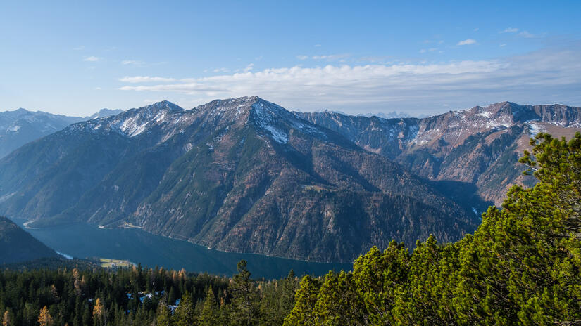
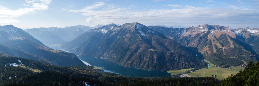
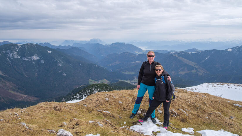
With a guest visiting we were keen to get out into the mountains, however we were not exactly sure on the snow cover given the warm weather last week. We decided to head up above Achensee to do the Vorderunnütz, as I knew that the ascent was up a south facing slope so had a good chance of being snow free. I was also hoping for wonderful views, as it was pretty good on a grey day when I did the walk with Rob earlier in the year.
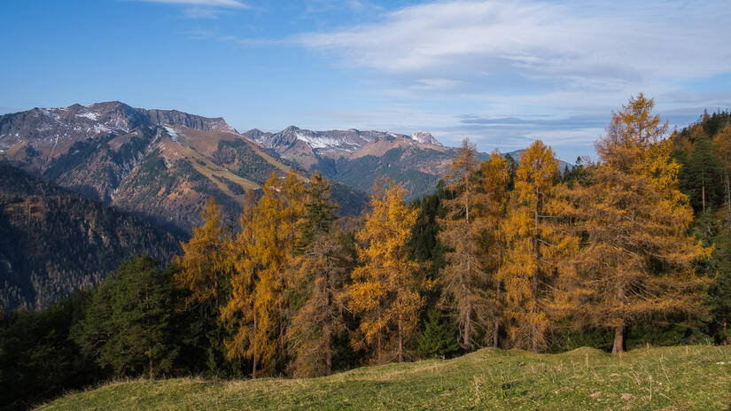
The start of the walk was up in the woods, but we made relatively good time and were soon at the Köglalm, and our first proper view out of the woods. There were still some wonderful autumnal colours and lovely views down Achensee. We then ascended back into the woods, enjoying the fleeting views down Achensee.
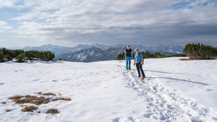
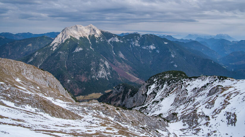
Unfortunately by the time we emerged from the woods for the final 200m up to the summit, the cloud was really starting to come in again which was a bit disappointing, however the views were still pretty good.
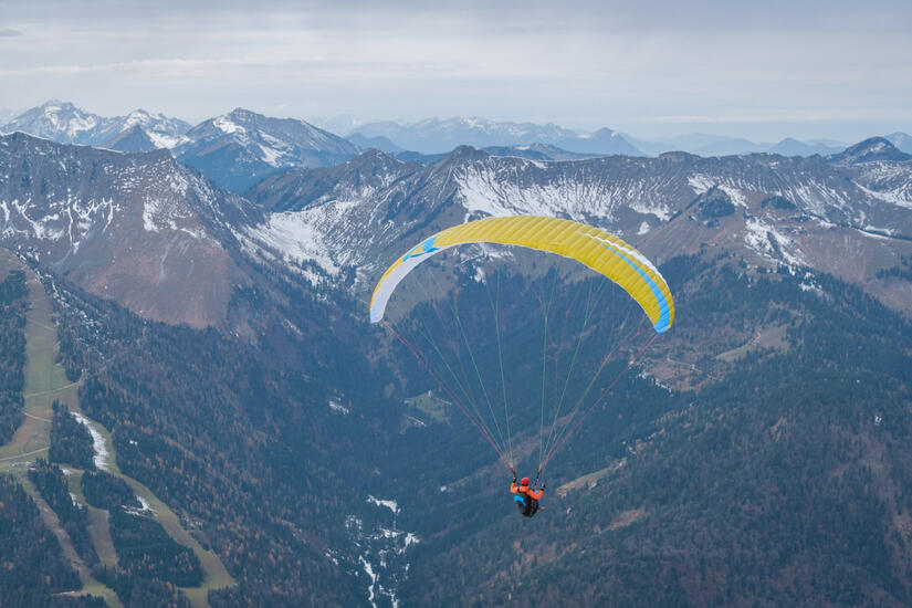
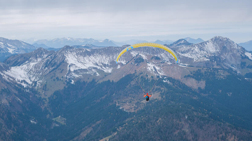
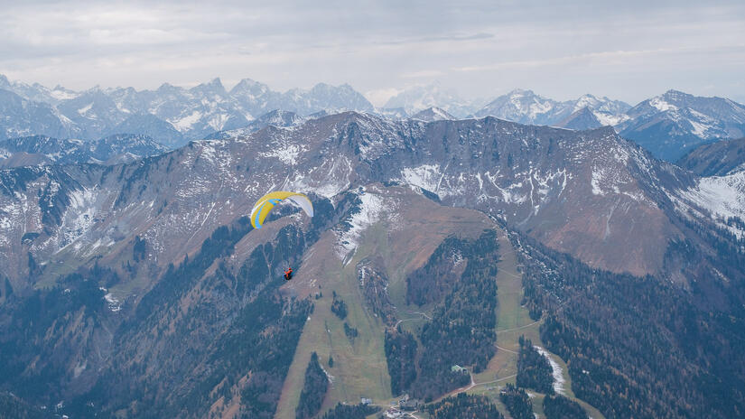
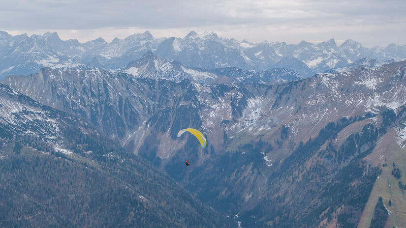
There was a wonderful wind for paragliding, enough to make the launch nice and easy, but not so much to be intimidating. The launch area was wonderful, as it was a large gentle grassy meadow. With the NW wind direction of the day there was a fairly short run however with enough space not to feel intimidating. After a quick setup and reverse launch I was soon in the air. There wasn’t quite enough wind to soar along the ridge which was a shame, but given how cold I was maybe this was no bad thing.
After a wonderful flight down with great views over Achensee and into the mountains, I enjoyed the massive (non-official) meadows in Achenkirch for the landing. With a small valley breeze and the large field the landing was very easy and smooth.
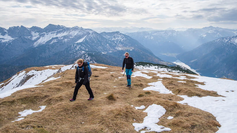
Sarah and Becky walked down the other side of the mountain to Steinberg, however this turned out to be hard work due to the amount of snow on the east side of the mountain!
Max elevation: 2077 m
Min elevation: 834 m
Total climbing: 1187 m
Total descent: -1243 m
[…] discovering how nice the take off and landing was last week, we decided to head back to the Vorderunnütz for Becky’s first hike&fly […]
[…] next adventure was from Vorderunnütz above Achensee. This was a peak I had been up earlier in the year, and read that it was a really easy take off, so […]