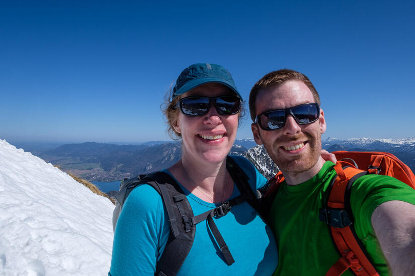
After a few weeks of excellent skiing, the weather seemed to turn very abruptly to spring with warm weather and clear skies. After months of not being able to join me in Munich due to Covid travel restrictions, Becky was finally able to come out for a few weeks. Thankfully the weather once she had finished her quarantine was still beautiful, so we headed out to do the classic circuit of Herzogstand and Heimgarten.
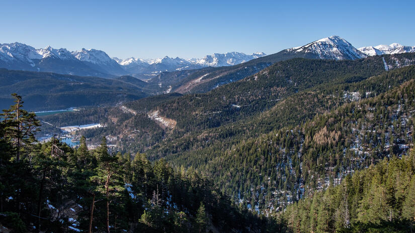
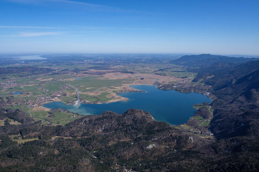
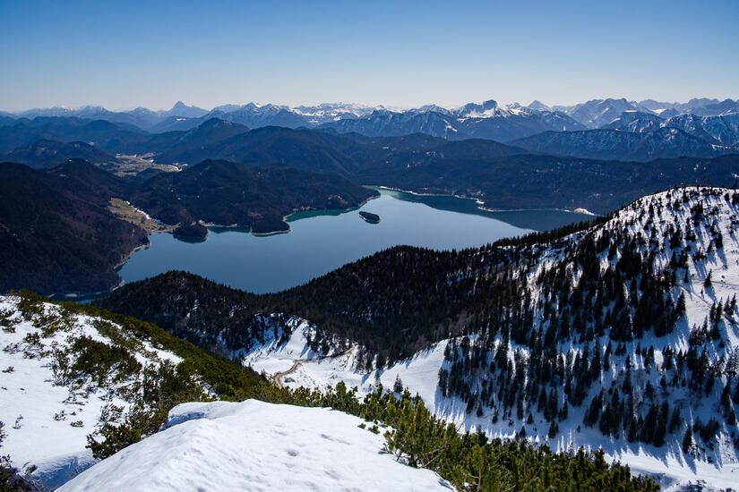
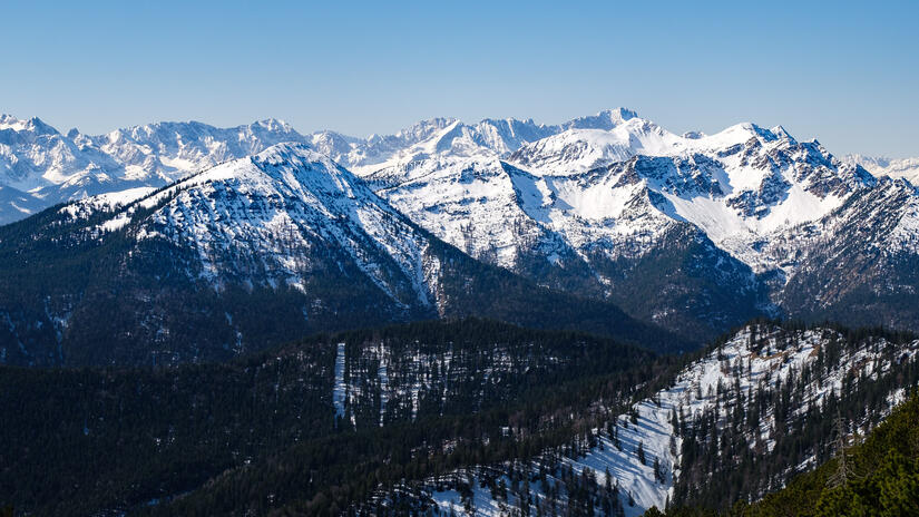
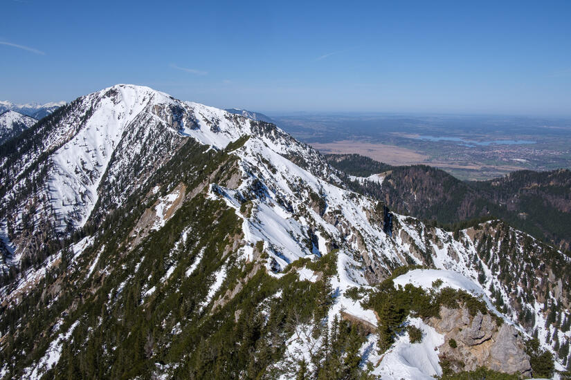
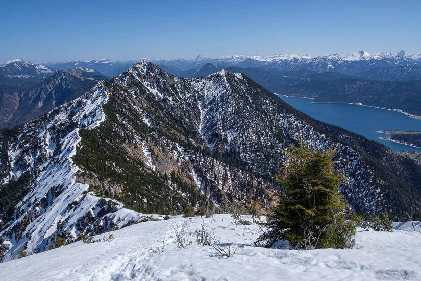
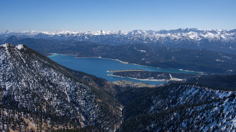
The weather was beautiful all day, and we certainly felt too warm in trousers and a t-shirt! The ascent up to the Herzogstand was fairly quick and we were greeted with exceptional views, the difference between the view to the north towards Starnbergersee and Munich and south towards the alps was amazing, and it was great to look down over Kochelsee and Walchensee.
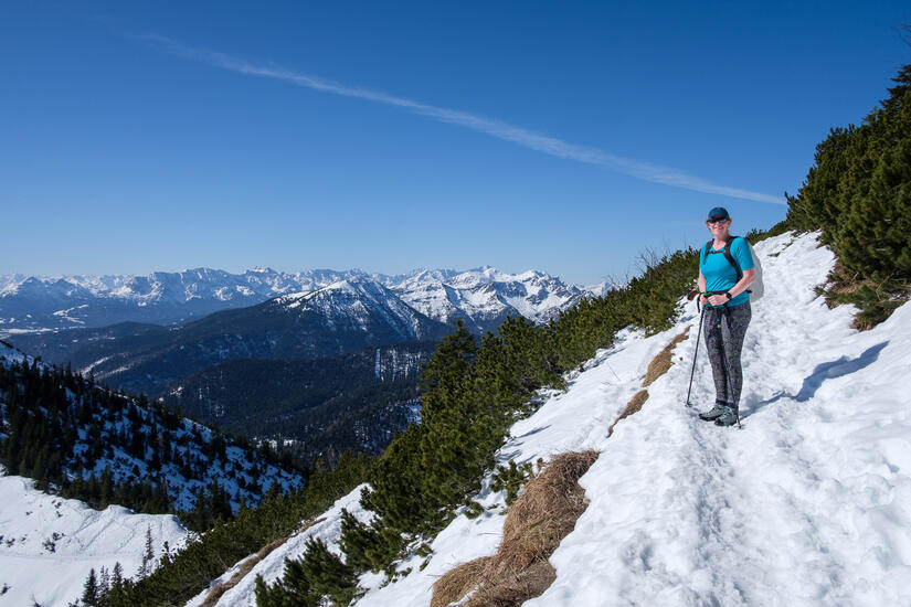
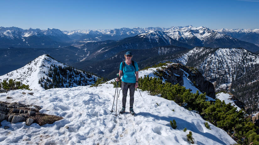
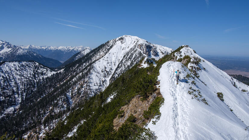
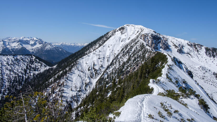
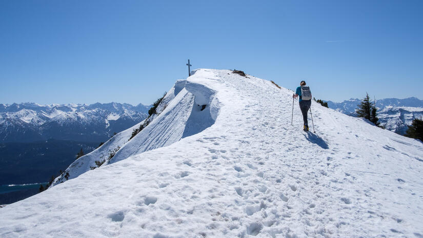
The ridge between the two looked brilliant with the last of the snow still covering the ridge, we had to put spikes on to get down to the start of the ridge as the descent was not in the sun, but otherwise the snow was all soft. The ridge was enjoyable, with some more narrow sections.
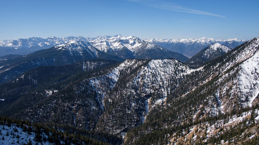
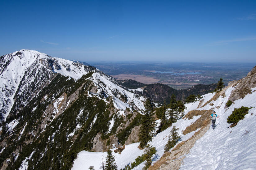
The ascent up to Heimgarten was a slog up deep wet snow in the heat of the midday sun. Thankfully it was over after not too long and we were on the summit with yet more brilliant views, and a wonderful view back towards Herzogstand and the ridge which we had just crossed.
The descent was fairly uneventful, if a bit long, and we were back down in time for a cold drink from a takeaway place in Walchensee.
Max elevation: 1754 m
Min elevation: 816 m
Total climbing: 1328 m
Total descent: -1328 m
[…] previously climbed Heimgarten via the classic traverse from Herzogstand, we decided to climb it from the other side as it was an appropriate length and distance from […]