With the temperatures set to be above 30°C for at least the third day in a row we had to make the decision about hiding from the heat and not making the most of the weekend, or accepting the unrelenting heat and heading out for a hot walk. We decided to head out for a walk, but starting fairly early. We left Munich at 6:30, which we thought would be early enough to guarantee a space in the car park, but we were wrong as it seemed numerous people had the same idea, thankfully we got the last space in a location very near to the car park!
Due to the heat there was some additional criteria for the route compared to normal:
- Not too long
- Not too much ascent
- Finishing at a lake
- Ascent in the shade
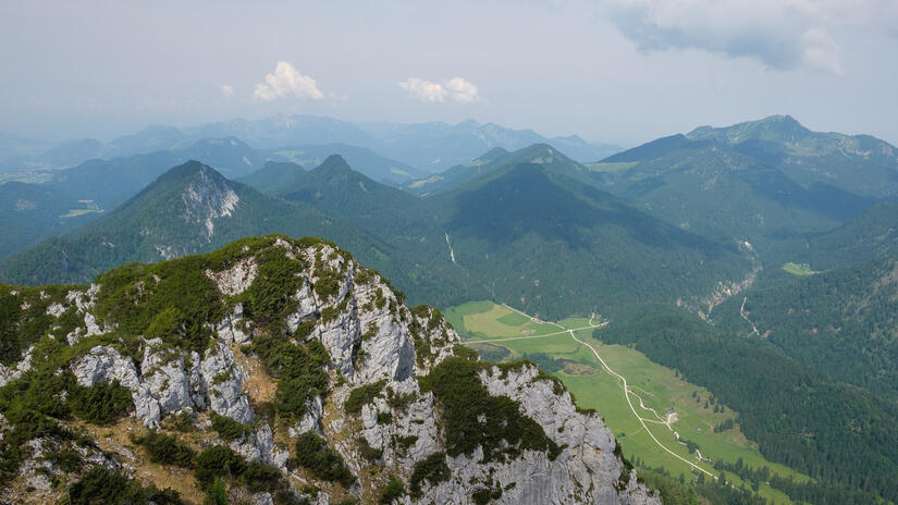
We managed to find a route which fulfilled all of these criteria in the Chiemgau, as the ascent was either in the woods, or up the north side of the mountain, and due to the bus route down the valley we could make the walk a linear route finishing at a bathing lake.
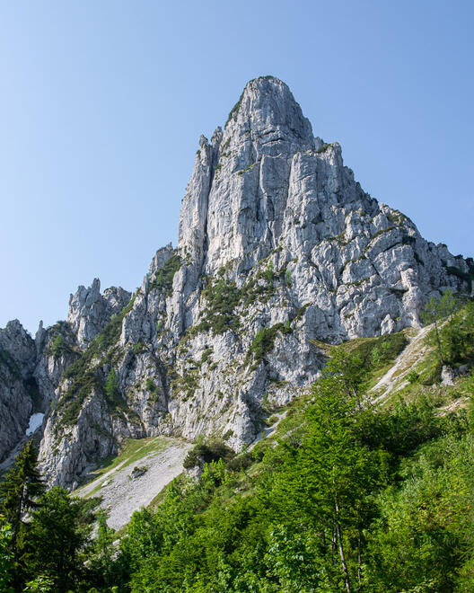
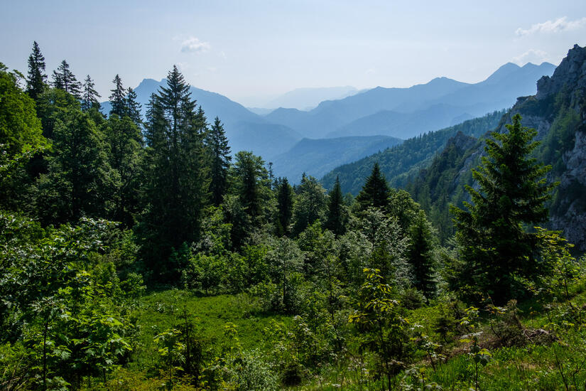
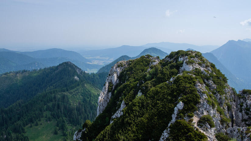
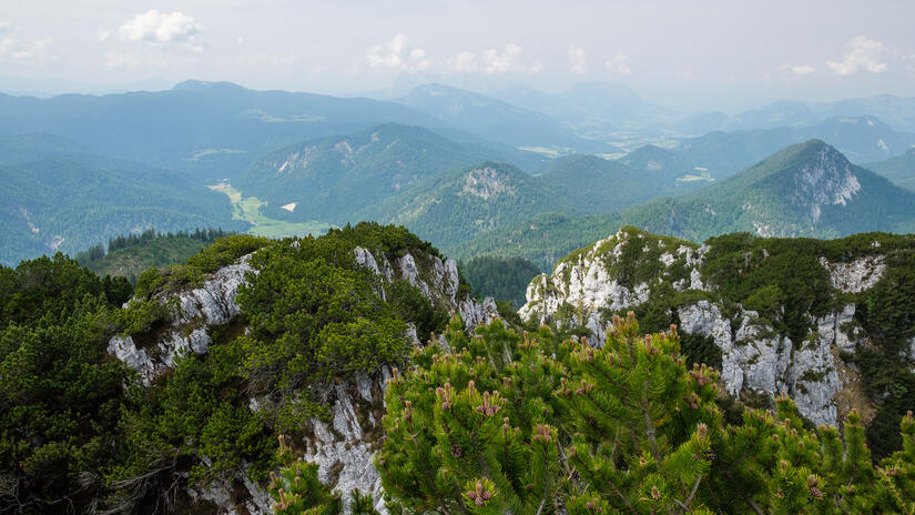
As we left the car we were very aware of what was to come, as it was already in the “very hot” temperature range at 8am. Thankfully the ascent was mostly in the shade, which made it bearable. On the ascent we had some fantastic views of the Hörndlwand rock face, it looks like there is some brilliant climbing up the face, at an amenable grade, so I will certainly be back on a cooler day!
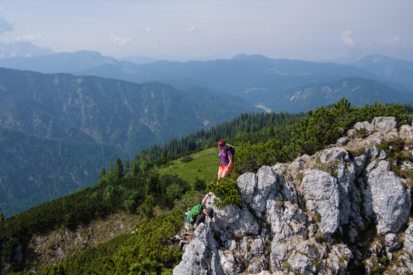
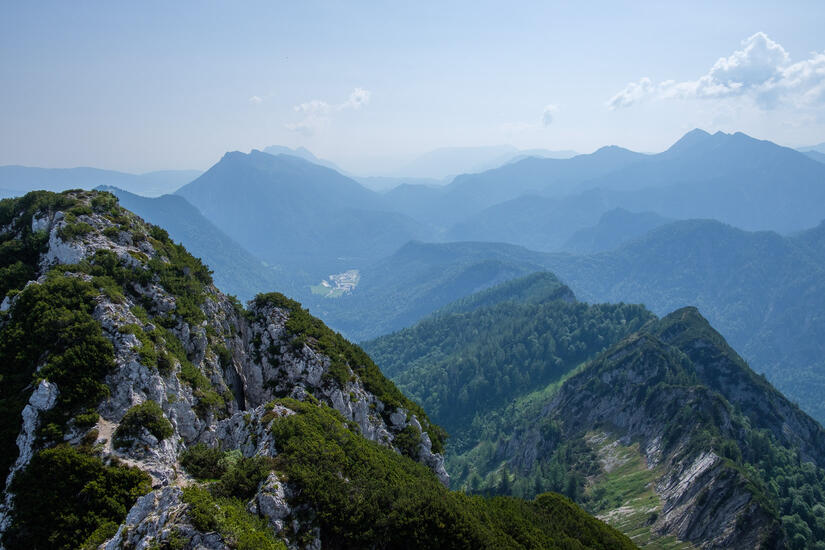
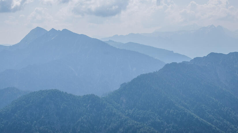
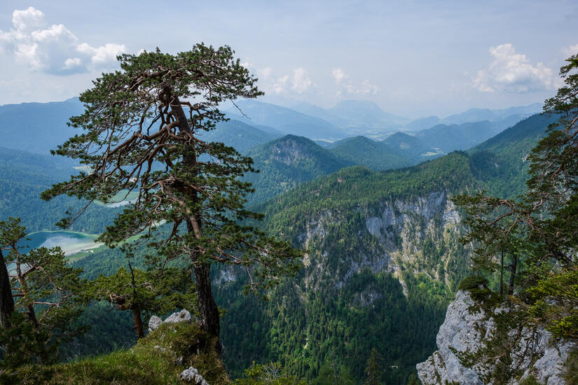
We made excellent time up to the summit of the Hörndlwand, which I suspect had more people on than normal given we arrived at 10am! Unfortunately the week of hot weather showed with the air clarity, we could hardly see any view due to the extreme haze! Nonetheless, the view was very nice, but it was definitely a shame not to be able to see very far. We enjoyed a relaxed “lunch” on the summit, watching people come and go, gliders flying and climbers topping out.
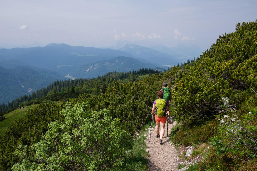
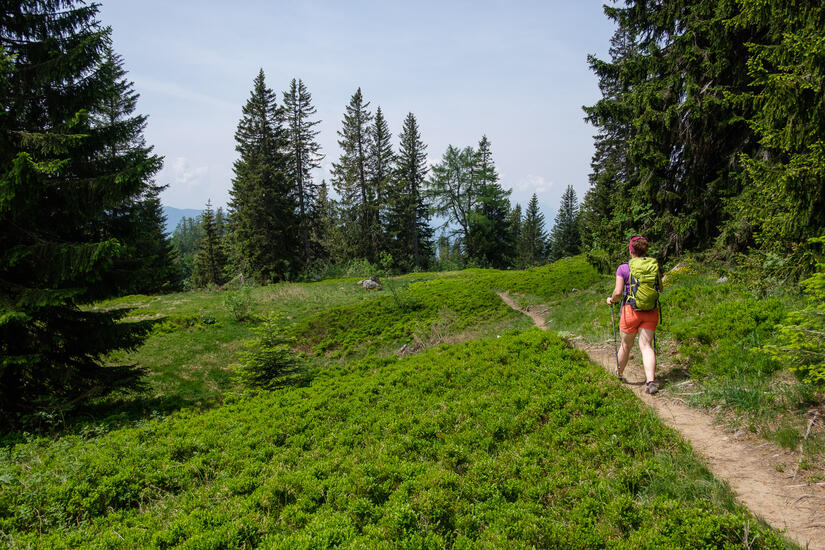
On the descent we also climbed back up to the summit of the Gurnwandkopf which had fairly similar views, but was quieter. On the descent I had this great idea to head out to a viewpoint which was marked on my OpenStreetMap based map, which also had a path marked to get to the viewpoint and then back down. Unfortunately while the viewpoint was certainly a good vantage point, with a good view, the path to the viewpoint, nor down from the viewpoint existed. After regaining height on a very vague path which was not on any maps, we rejoined the main descent path very hot and bothered.
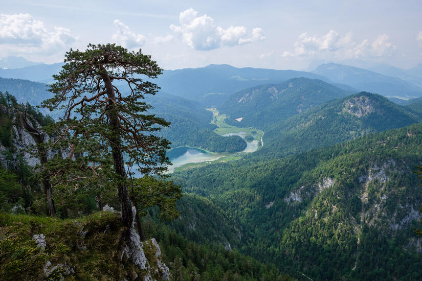
The descent in the hot woods dragged on, however we eventually reached the road, and the wonderful sight of a lake to cool down in. Getting into the water was so refreshing, and made us feel human again. After drying out in the sun we walked up to the road to catch the bus down the road back to the car.
Max elevation: 1645 m
Min elevation: 750 m
Total climbing: 1074 m
Total descent: -1076 m
[…] Hörndlwand […]