We decided to do a there and back route up the Breitebenkopf as we could walk there from the campsite. We started with a 2.5km walk along the road into the Seidlwinkltal before starting our ascent.
From the start it was clear this wasn’t a popular route as the ascent was very overgrown, and it was also very steep. The steepness combined with the brutal heat made this very hard work. On the map there was a walking path which made its way directly up the mountain and an old zig-zag forest road, which looked even more overgrown than our path, however eventually we emerged to find the overgrown forest road had turned into a newly made stone forest track. So at this point we decided to leave the official walking track and take the much longer, but much less brutal forest track up to the end of the forest.
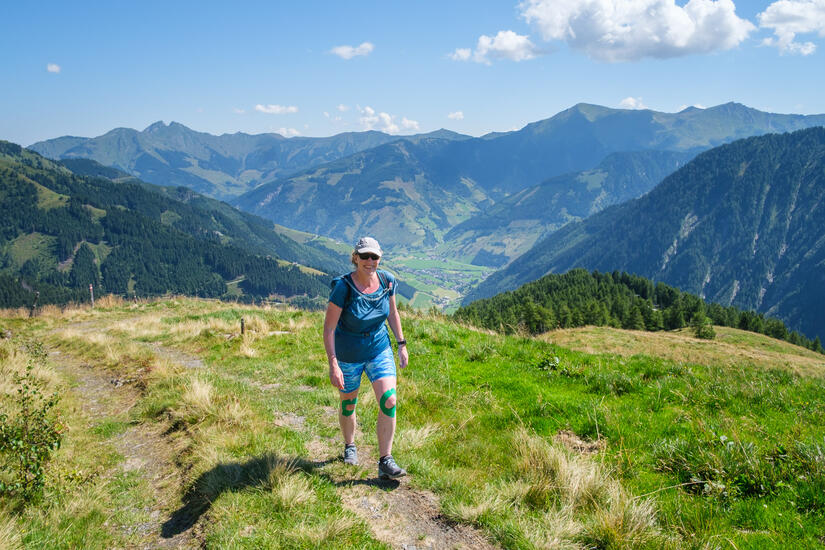
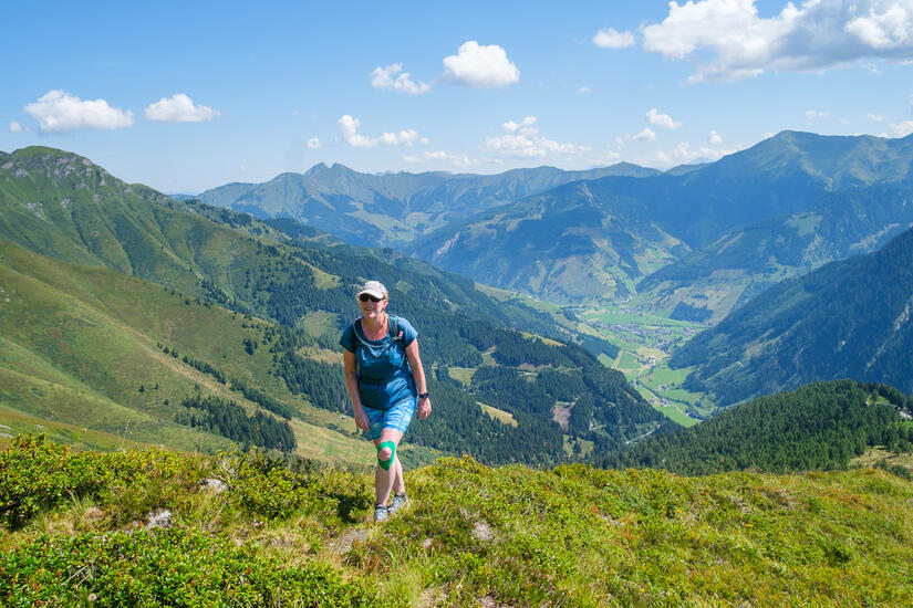
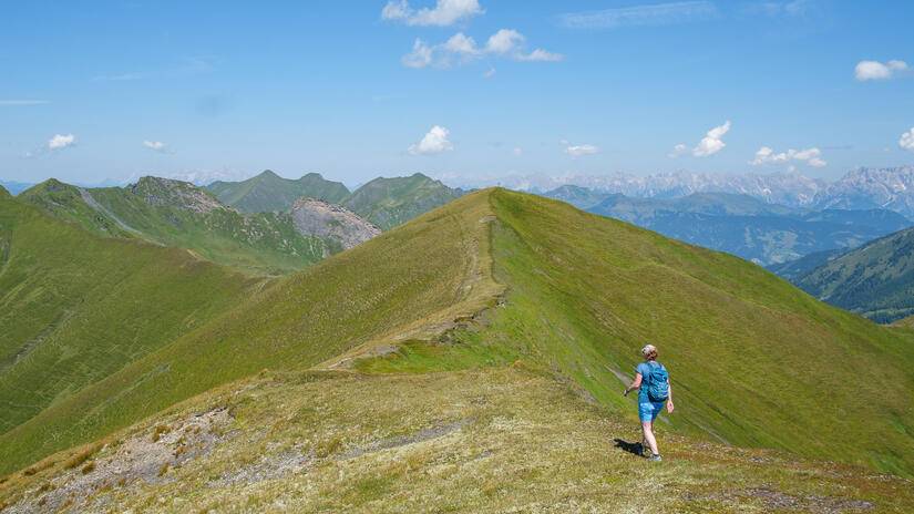
From here we left the stone path and again joined an old track and then a very unworn path up the spur towards the Weichselbachhöhe. This became increasingly steep towards the top, and we were certainly glad when the summit cross came into view.
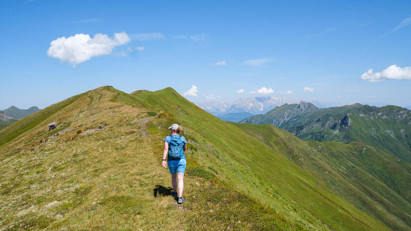
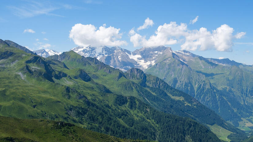
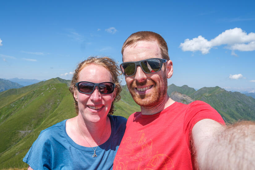
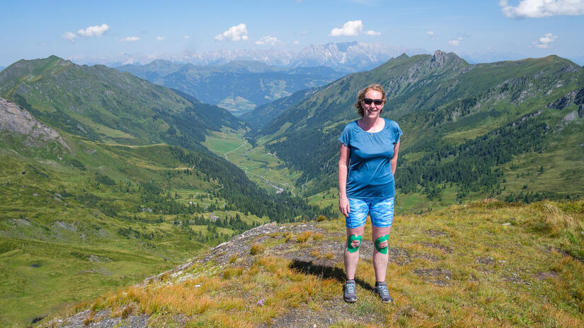
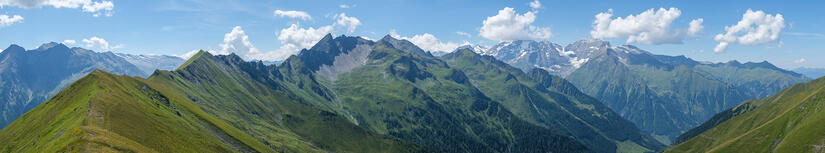
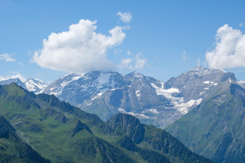
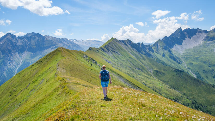
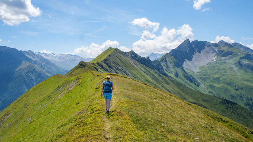
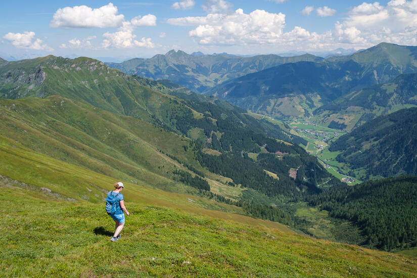
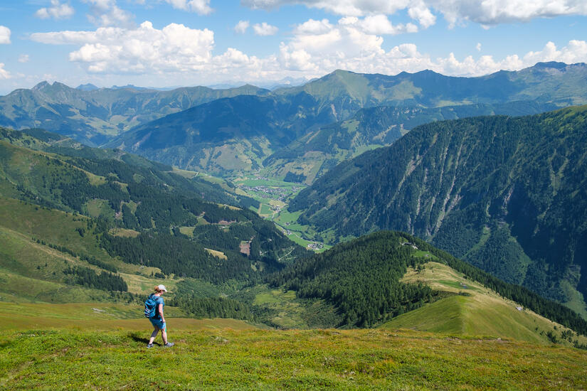
From the Weichselbachhöhe it was a short walk along the ridge to the Breitebenkopf, which had fantastic views in every direction, probably the best views of our trip. We enjoyed lunch on a bench at the summit before making the hot descent back down to the valley.
Once we were back in the valley we just had the 2.5km walk along the valley back to Wörth, which in the afternoon sun was incredibly hot. Thankfully next to our campsite there was a restaurant, where we enjoyed some much needed cold drinks and ice cream.
Max elevation: 2231 m
Min elevation: 959 m
Total climbing: 1335 m
Total descent: -1331 m