After a brilliant day flying the previous day, I was unsure of what do do on my second and final day in the Dolomites as the airmass was not predicted to be very good. I was even debating if I should just head back and fly in Austria on the way home so that I got back to Munich at a more reasonable hour.
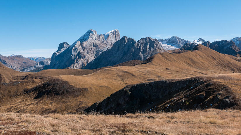
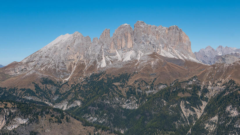
As I left the hotel I had decided that I was going to head to fly at Rofan above Achensee, until I had a sudden brainwave. I realised that I was focussing too much on thermal flying, and an alternative, and equally good way to spend the day was to do a hike and fly. Which would enable me to soak up more of the wonderful scenery on offer in the Dolomites. I found this really useful page on FassaFly and decided to head up Col Bel, as it worked well with the wind direction, was a decent walk and was meant to have stunning views.
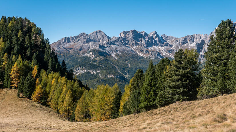
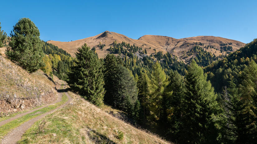
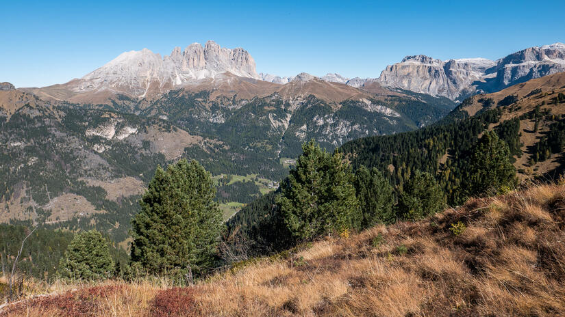
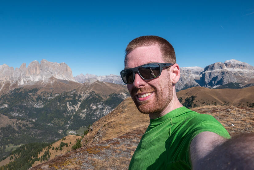
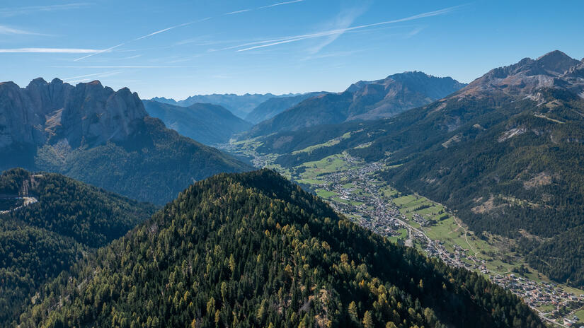
I actually elected to climb the mountain via a slightly different route, as it meant that I ascended up a ridge, so had wonderful views for a large part of the ascent. I parked at the Vajolet chairlift station and headed up the forrest road. The ascent remained on forrest road until I was nearly on the ridge up to the summit, so progress was relatively quick despite my 15kg rucksack!
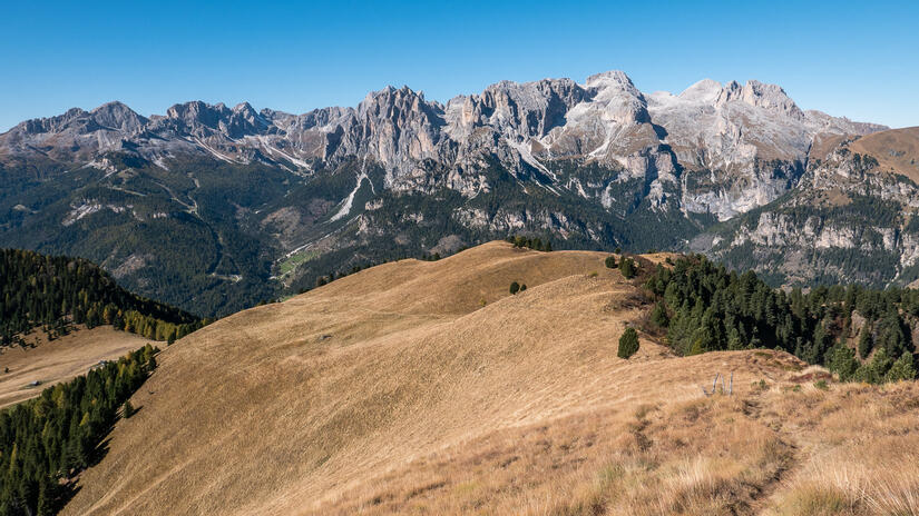
The final ascent up the ridge was beautiful, but I certainly felt my lack of exercise recently by the end, and the weight of the bag. The absolutely wonderful views gave me a good distraction to my waining energy levels, and my tired legs. Perhaps I should have stopped for a snack…
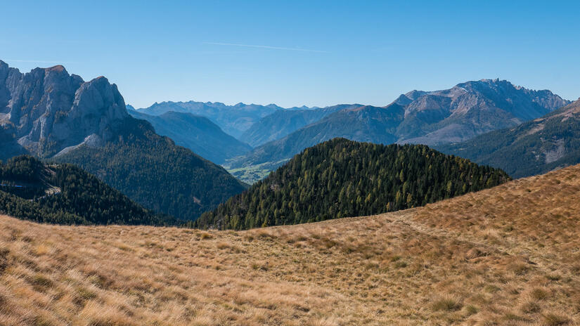
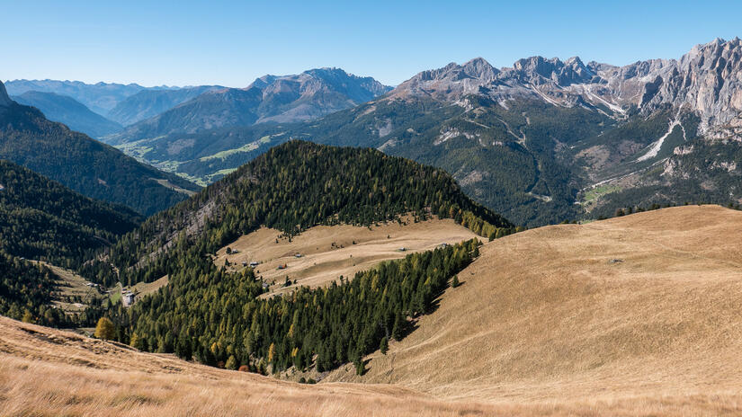
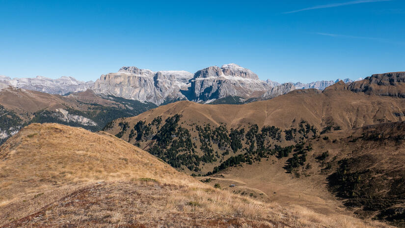
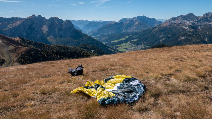
After soaking up the views and eating my lunch at the top, I sorted out my flying kit on the huge starting meadow. Despite the forecast for the poor airmass, I dressed optimistically in case I found some good thermals and had a long flight. I was pleased after launch to climb up a few meters so that I could see more of the wonderful views, however the climb was not going to take me much further up, so I then headed off down the ridge and across the valley.
I didn’t find any real thermals, just a few bubbles of lift which didn’t go up very high, so after a short flight I was able to land in a large field next to the lift station. There are also plenty more opportunities to land in the meadows on the other side of the river.
I was back at the car by 13:00, so was also able to set off at a reasonable time to head back to Munich and miss the worst of the Friday afternoon traffic on the Brenner pass.
Max elevation: 2416 m
Min elevation: 1318 m
Total climbing: 1138 m
Total descent: -43 m
[…] was only really one day for good XC flying, the second day was a hike&fly day, so I was a bit disappointed to wake up feeling pretty rough after a bad nights sleep. After a […]